ABOUT THE NATIONAL LEVEE DATABASE
About the Data
The National Levee Database currently includes information for about 7,000 levee systems that meet certain criteria.
The data available for these levees varies but generally includes:
-
Location
-
Date of data update
-
Operation and maintenance organization
-
Levee length
-
Oversight organization
-
Levee height
-
Local emergency management agency/organization
-
Year constructed
-
Local floodplain management agency/organization
-
Summary of what is behind the levee
If you have questions about available data, please contact the National Levee Database Helpdesk by emailing NLD@usace.army.mil or calling 1-877-538-3387.
Levees in the National Levee Database
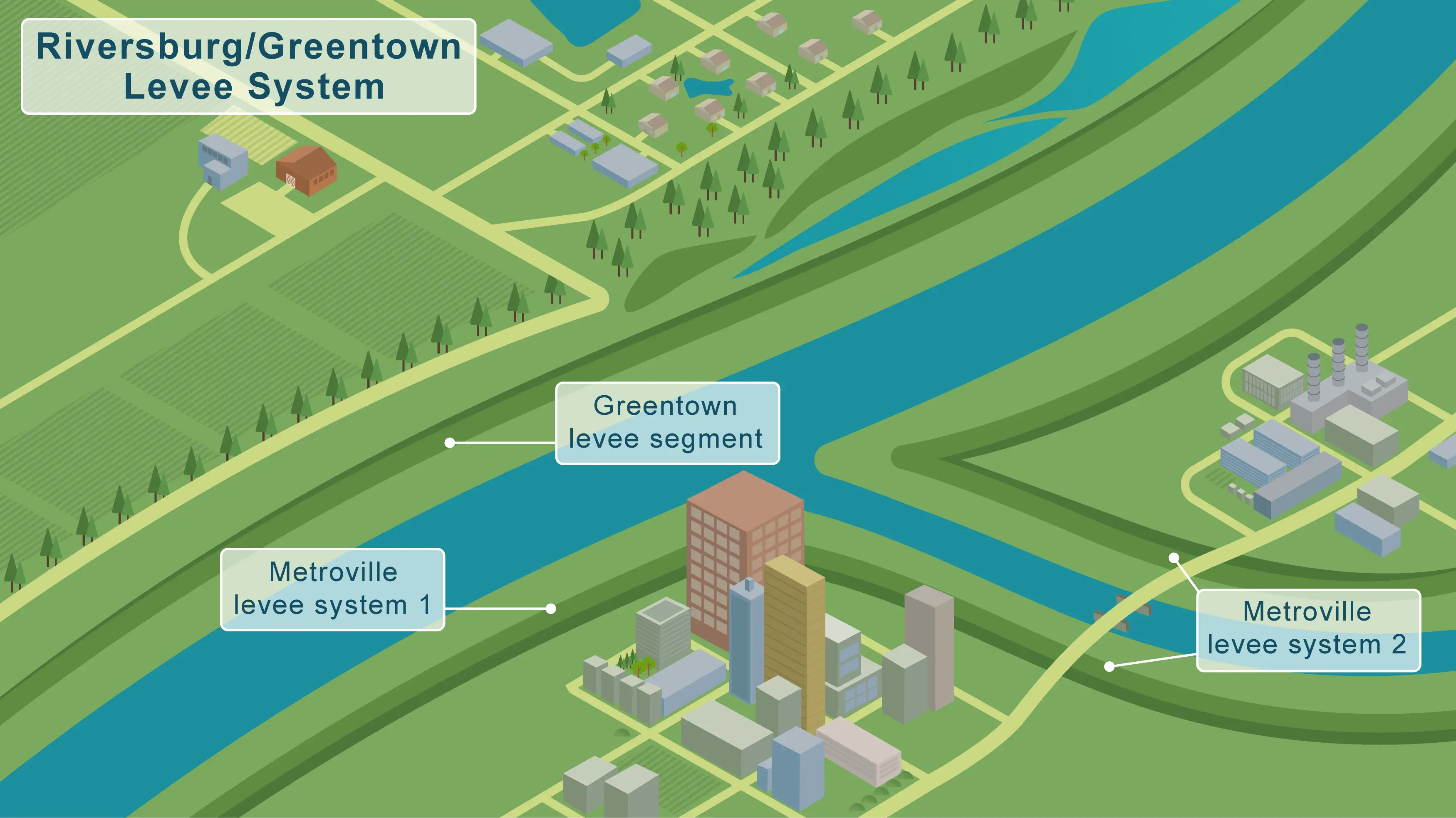
A levee is considered a humanmade barrier with the primary purpose of reducing the frequency of flooding to a portion of the floodplain, sometimes referred to as a levee system. Most levees are built along waterways and typically do not have water against or on them all the time. Many levees connect to or rely upon high ground, such as a railroad embankment to create an unbroken line of defense against flood waters. More information about levees, what they’re made of, and how they work is available under Levee Basics.

Data Accessibility
There are numerous data fields for each levee in the National Levee Database. Anyone can see data on the summary page for a levee and use available tools to search levee data. More detailed information for a specific levee can be viewed by logging into the site. Those responsible for levee(s) have access to more detailed information related to their responsibilities. More information on available data can be viewed in the data dictionary.
Data Freshness
Data in the National Levee Database is collected from federal, state, tribal, and local agencies, and entities. Generally, data for a specific levee is updated as new information is available or refined.
Data updates typically align with activities to identify, monitor the condition of, or communicate about a particular levee. For example, a levee owner or operator may submit updated data following a recent visual observation, or inspection, of the levee. Each levee summary page includes a field entitled, “Data Last Updated.” The date stamp reflects the last time data on the summary page for a levee was updated.
The amount and quality of data for each levee can vary. Information in the database is the best available. The U.S. Army Corps of Engineers continues to work with federal, state, tribal, and local agencies, and entities to update the data on an ongoing basis. The U.S. Army Corps of Engineers is not responsible for validating the quality of all data provided in the National Levee Database; those submitting the data are responsible for its quality.
Submitting a Data Change Request
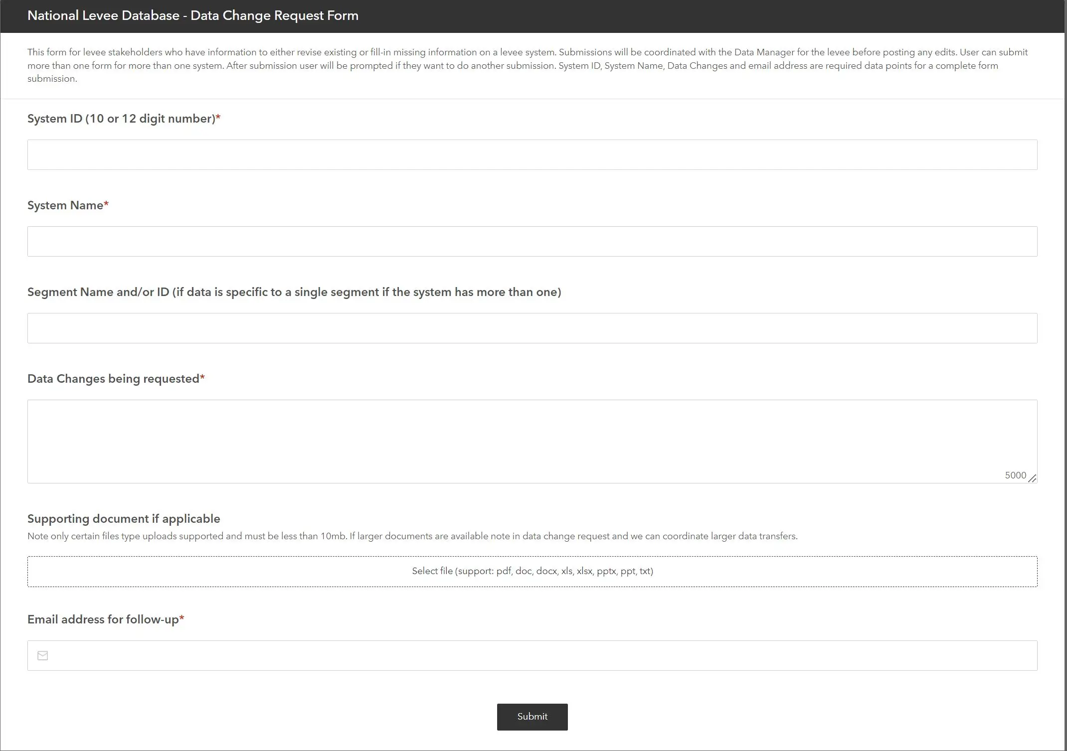
Should you notice data in the tool that is out of date or incorrect, you are able to submit a data change request. When submitting a change request, you will be asked to provide information about the data that requires updating. This information will be reviewed by the team responsible for maintaining the National Levee Database, who will coordinate the request with the entity responsible for the levee.

Data Sharing
Data within the National Levee Database can be downloaded, shared, and used by anyone. For more information, contact the helpdesk at NLD@usace.army.mil or 1-877-538-3387.
Many agencies and decision makers rely on information within the National Levee Database. For example, the U.S. Army Corps of Engineers and FEMA have many similar authorities, and Congress has asked the agencies to collaborate on levee-related activities to support communities. As a result, the agencies regularly share data to inform programs and activities around levees.
Those who have a role in preparing for, responding to, or helping communities adapt to face flooding or other natural hazards can benefit from the data available in the National Levee Database. See Flood Basics for more about how levee data can inform decisions in areas that flood.
Next Up
Read our FAQs about the NLD.